
maps (documents)
Found in 16 Collections and/or Records:
City of Newport map, circa 1942-1946
A scrapbook created by Harold Marple recording his time at the Audio-Visual Aids (AVA) program on Naval Station Newport. AVA was developed in 1942 to bring together educators, artists, photographers, film-makers and writers to create films and graphics to educate the Navy. Mr. Marple’s scrapbook documents their activities in the mid 1940s. The scrapbook also includes a list of personnel and addresses of those serving in the AVA during this period.
Other materials include a city of Newport map; map of Naval Training Station Newport, annotated by Marple indicating where he lived; 1945 Mar 25 Providence Journal article on the AVA program; loose photographs of Naval Station Newport; Marple's Naval Training Station badge.
Collection of Newport Area photographs and records
This collection consists of photographs, minutes, correspondence, newspaper articles, and programs pertaining to Naval War College studies, buildings, people, and events. The collection also includes photographs and correspondence of events in Newport.
JANIS 87: Joint Army-Navy Intelligence Study of Formosa (Taiwan) Plans, Volume 3, 1944 Jun
This is Volume 3 of 3.
Joint Army-Navy intelligence study on Formosa (Taiwan) published by the Joint Intelligence Study Publishing Board. This volume was originally found within a pouch with plans for various elements concerning the entire intelligence study on Taiwan.
Harold Marple papers
This collection consists of a scrapbook compiled by Harold Marple, Specialist Second Class Third Grade, during his time at the Audio-Visual Aids (AVA) Unit in Newport from 1943-1946. It also includes a map of Newport; loose photographs and a map of Naval Station Newport; a 1945 Providence Journal article, and Marple's badge.
Narragansett Bay military installation maps
Maps of installations around Narragansett Bay.
- I-49 Goat Island, U.S. Naval Torpedo Station
- I-50 Gould Island U.S. Naval Torpedo Station U.S. Naval Air Facility
- I-51 Rose Island U. S. Naval Torpedo Station
- I-52 U.S. Naval Training Station
- I-54 U.S. Naval Training Station Rifle Range Sachuest
- I-68 U.S. Naval Magazine Prudence Island
- I-47 Fleet Wharf Area including Small Craft Maintenance Facilities [etc.]
- I-42 U.S. Naval Hospital
- I-41 Anti-Aircraft Training Center Price’s Neck
- I-39 Motor Torpedo Boat Squadron Training Center Including Motor Torpedo Boat Repair Training Unit Melville R. I.
- I-36 U.S. Naval Fuel Annex [Naval Supply Depot] Areas Nos. 2-3-4, 5
- I-35 U.S. Naval Fuel Annex [Naval Supply Depot] U.S. Naval Net Depot Melville R.I.
- I-28 U.S. Naval Torpedo Station Annex No. 3 Fall River, Mass.
- I-5 Signal Station Block Island, R.I.
- I-48 U.S. Naval Supply Depot Public Works Department Marine Barracks U. S. Naval Torpedo Station Annex, Coddington Cove Area Middletown R. I.
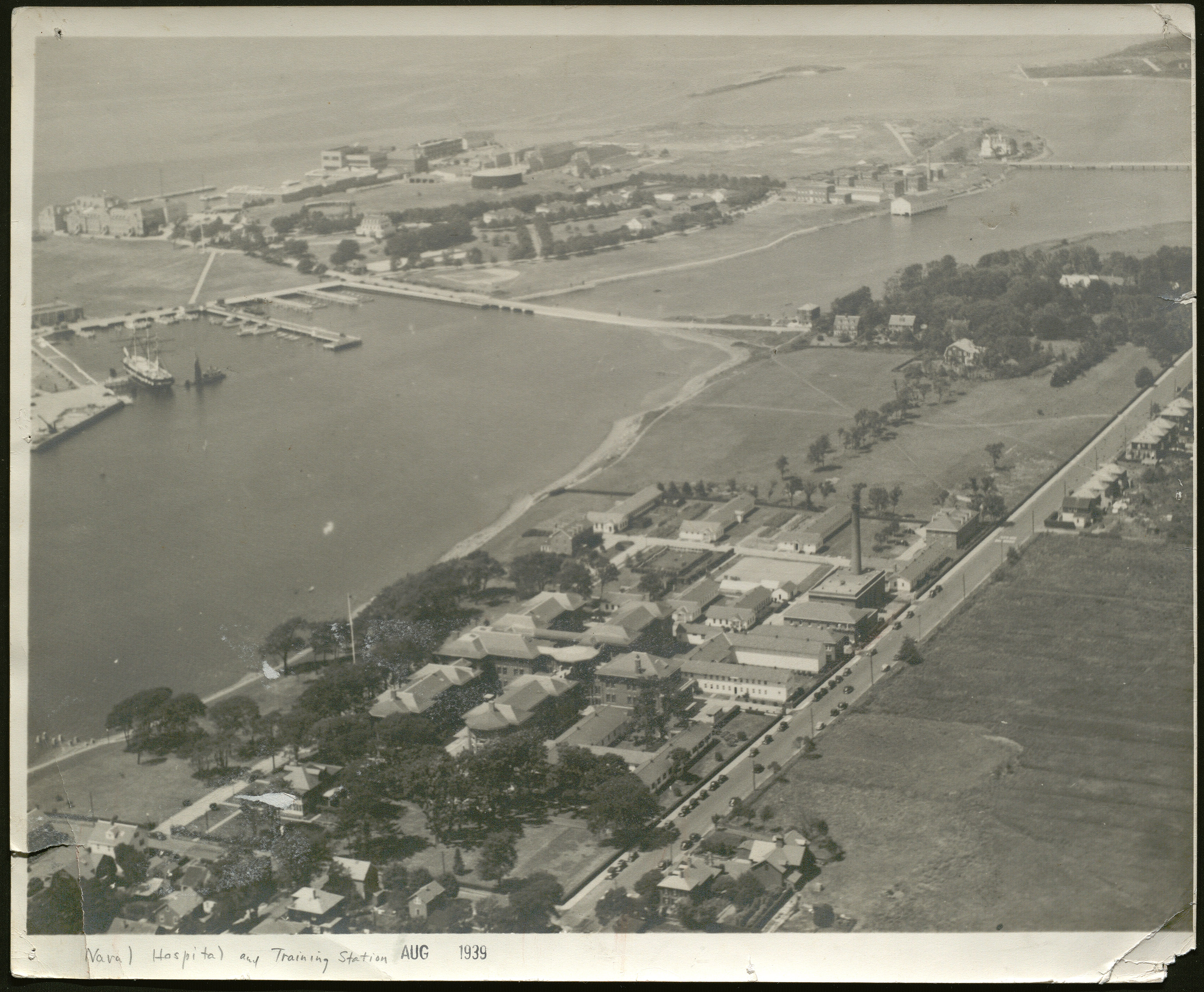
Naval Hospital and Training Station aerial photograph
Naval Training Station map, circa 1942-1946
This map was annotated by Marple labeling the buildings where he ate and worked while at Naval Station Newport.
Strategic Area of the Formosa Strait, East China and Yellow Seas, Staff Presentation
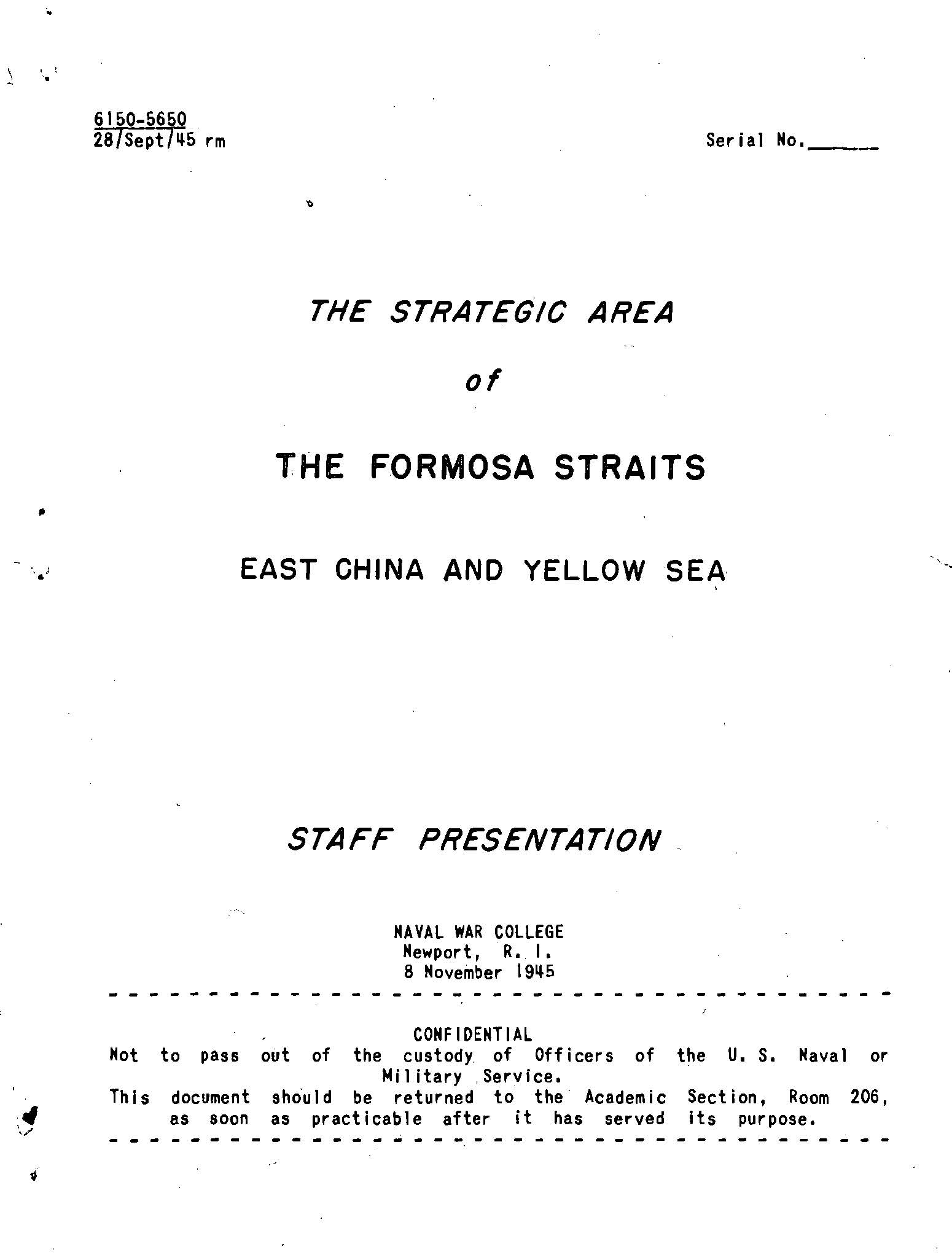
Strategic Area of the Formosa Straits, East China and Yellow Seas, Staff Presentation
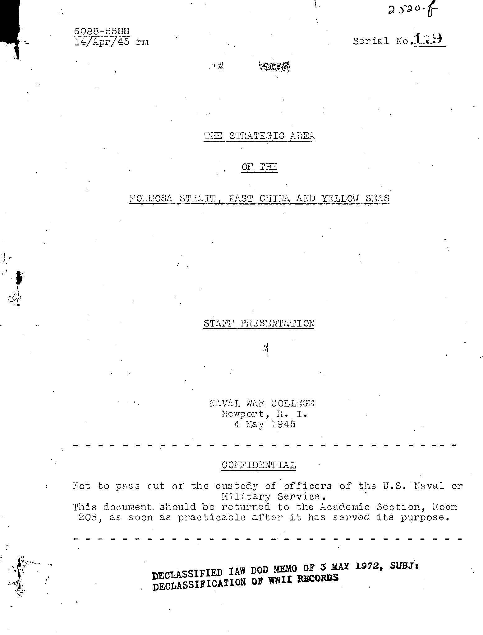
The Strategic Area of the Formosa Strait, East China and Yellow Seas, Staff Presentation, 1945 May 4
Staff presentation that was a condensation of a large mass of materials for the assistance of NWC students in becoming familiar with the general characteristics of a potential theater of naval operations along the coastlines and waters of East China, the Formosa Strait, and the Yellow Seas, including the large gulfs of Pohai and Liaotung.